Karzok to Kibber part I
Karzok to Kibber via Prang La Part I
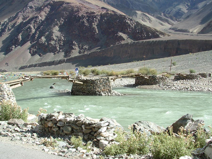
An old bridge over Indus few km before the Mahe bridge.
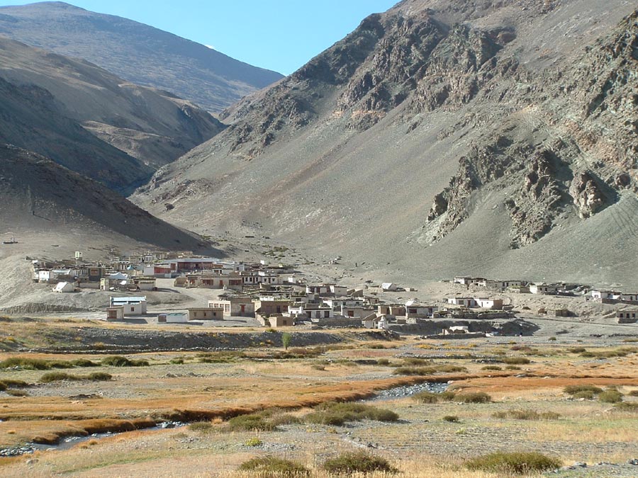
The village of Sumdoh on the way to Karzok, from here a road goes to Tanglang la on the Manali – Leh road.
The Namshang la.
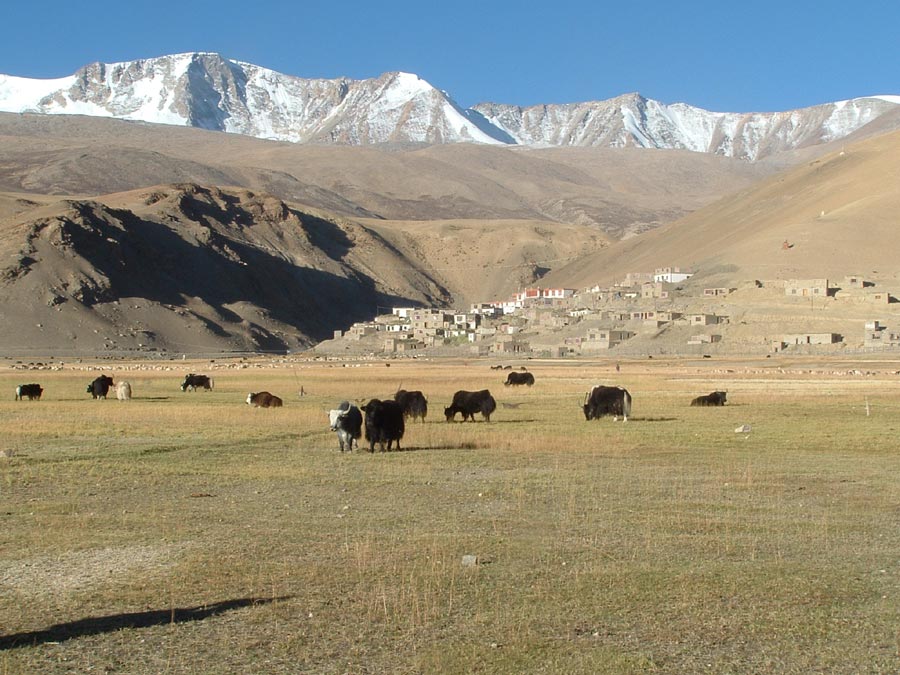
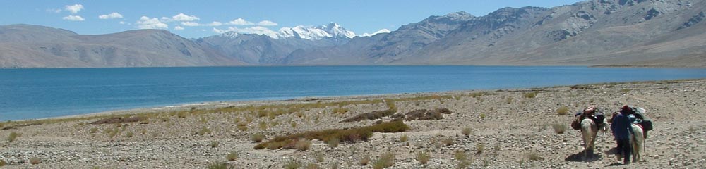
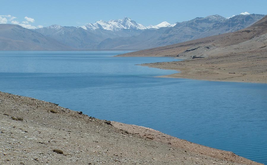
Part of the Karzok village seen from the shore of Tso Moriri .
Karzok village (4650 m) as we move on the trail along the lake.
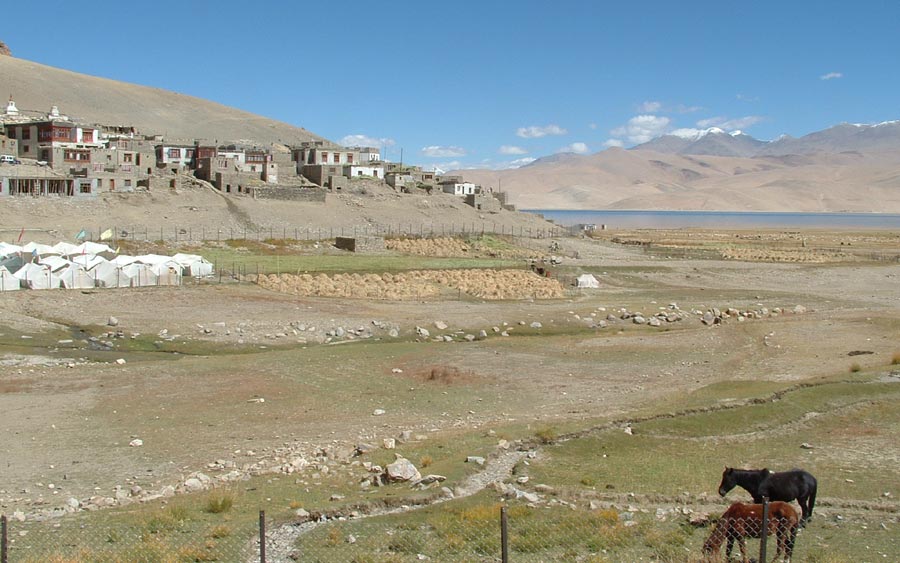
The trek starts on a level ground, the Karzok Gompa stands alone on the shore of Tso Moriri.
The Gya peak (6794 m) standing on the boundary of Ladakh , Himachal and Tibet keeps a watch over our progress.
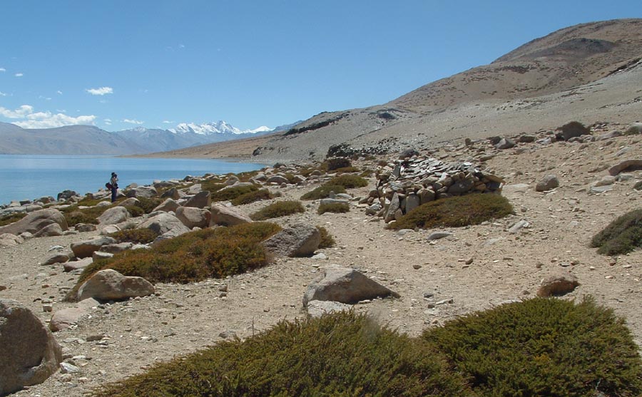
A number of Mani walls on the shore of the lake beside the trail on gentle scree slopes coming down from Mentok range..
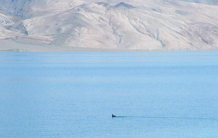
Nothing to beat this swim.
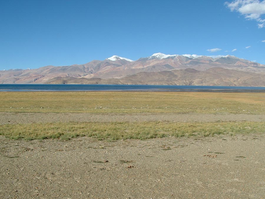
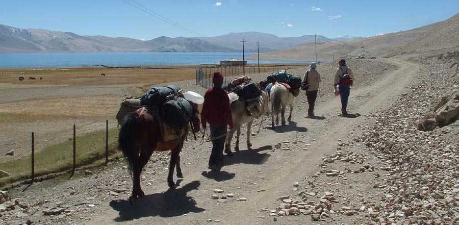
Finally we are on the Southern end of Tso Moriri and close to our first camp.
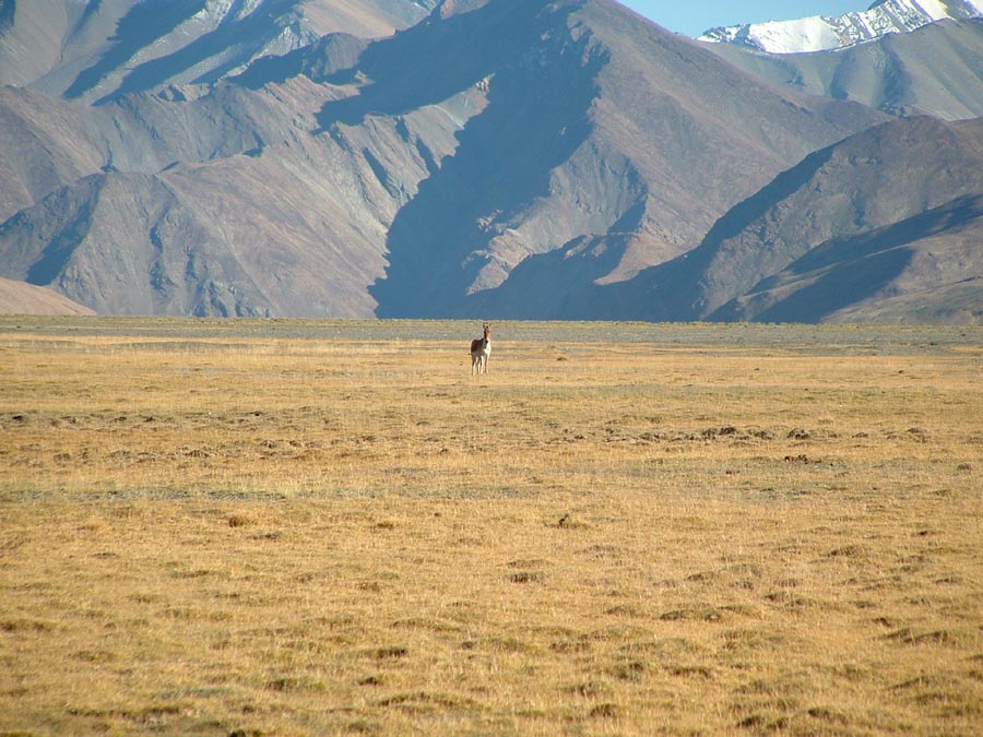
A lone Kyang came to greet the three horses accompanying us at the camp I- Kyangdom.
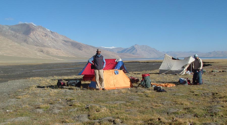
Finding level ground was bit of a problem at Kyangdom.
In the background flows the Phirse Phu river into the lake in many channels.
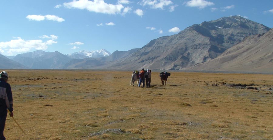
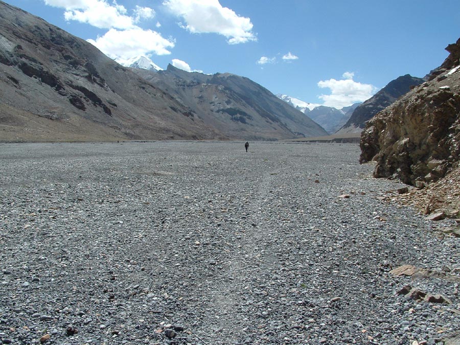
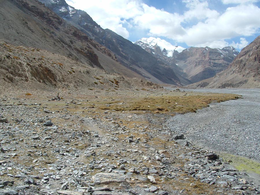
Keep Gya as your direction indicator and move into this huge plain.
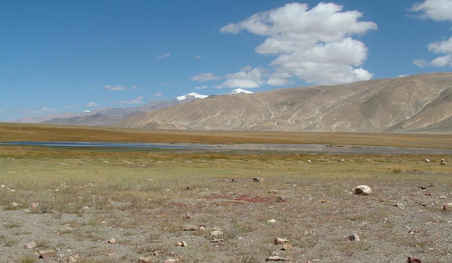
Is this Tso Moriri, well no, we have left it far behind, It is Narbu Sumdo.
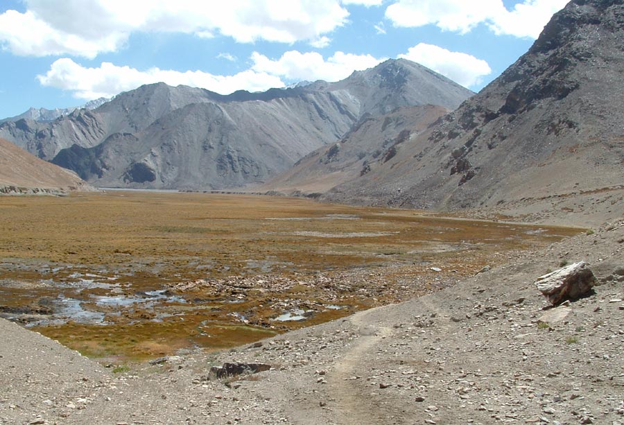
Some rest at Narbu Sumdo and again we are on the trail skirting this marshy land.
Table top in center is our first goal and Pare chu is seen in the gap on left.
Enter the Pare chu and follow it to west if you want to remain in India.
Crossing over to the right bank of Pare chu we are on the good trail and many camping grounds.
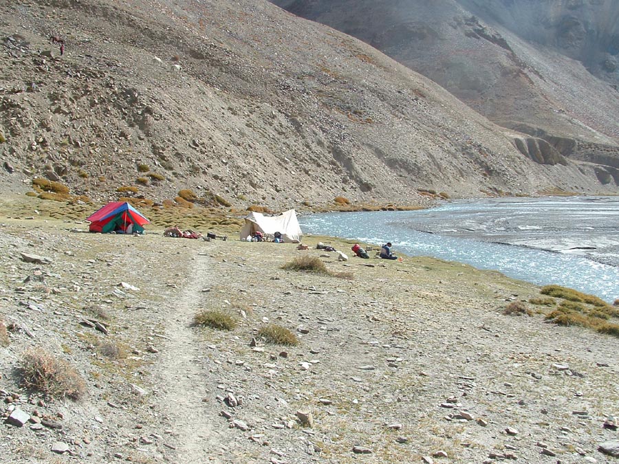
We decide to camp at Chunam Dhansa and establish our Camp II.
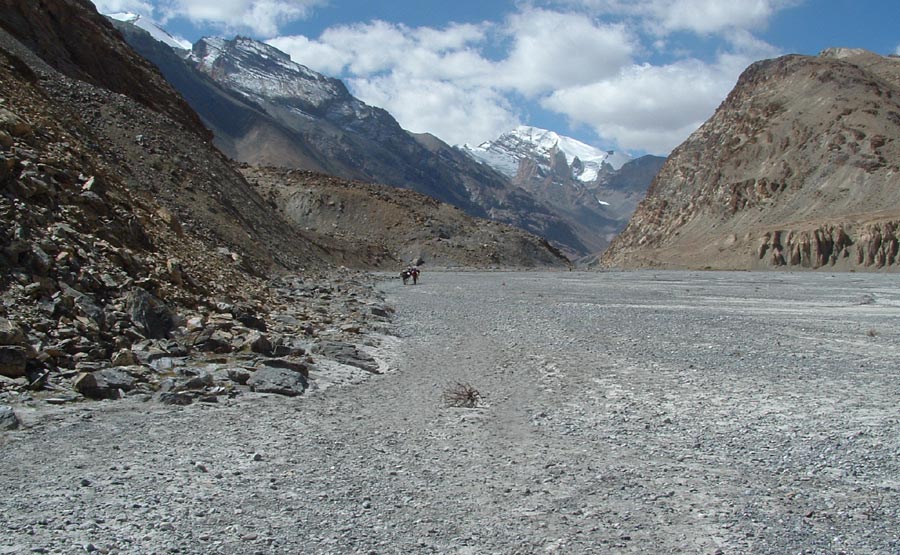
Keep following the trail moving on or above the river’s right bank.
Camping grounds keep coming. This is Umlung (4880 m) , which we passed by as we had lots of time on hand.
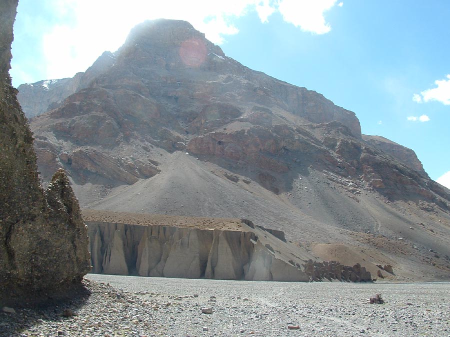
The trail crosses this huge dry nala coming from our left. Both the sides of the nala had different types of structures.
On the far bank along the Pare chu river the structure appeared as a medieval fort.
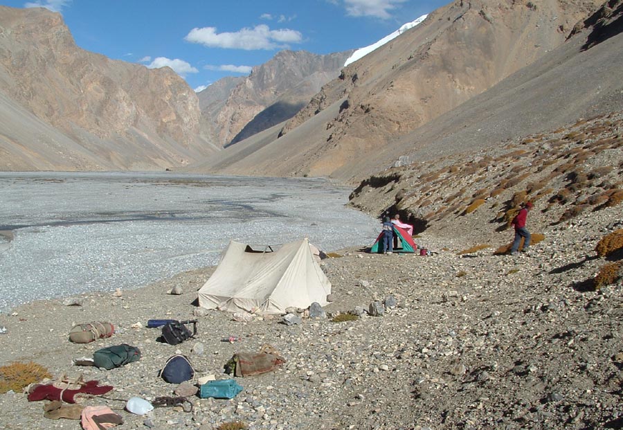
The horses have just got unloaded. Camp III is established at Shen Dhopsa.
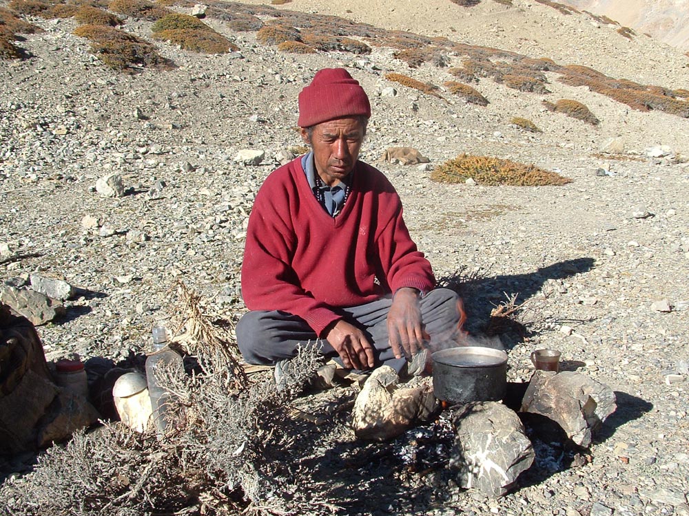
Nwang Chobey , our horseman does the best thing possible- preparing his salt tea.
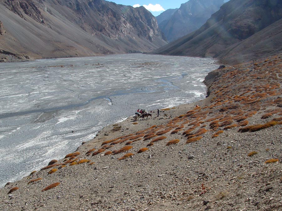
We had camped here. The vast expense of the river we had followed to reach this place.
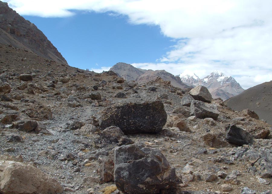
Where’s the level trail gone. Two of the team members are seen high above at distance.
Keep The Mountains Clean