Karakoram Pass Part II
Karakoram Pass Part II
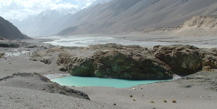
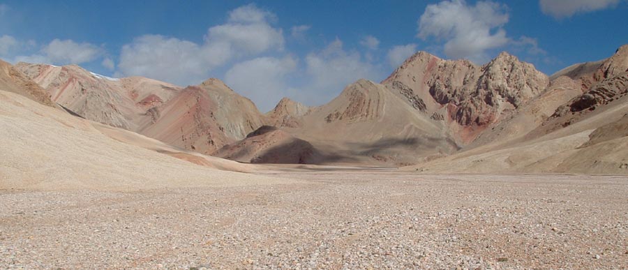
Do you miss any colors in these mountains.
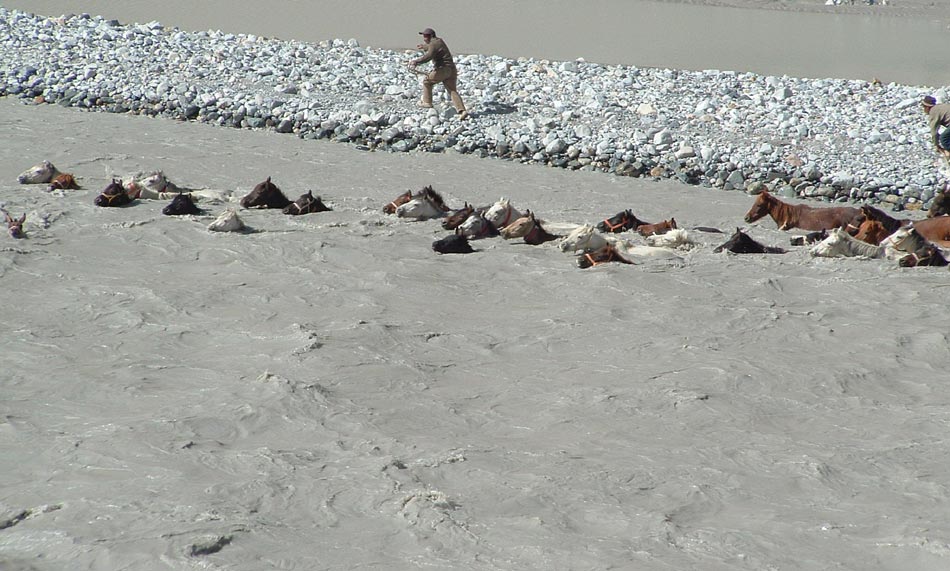
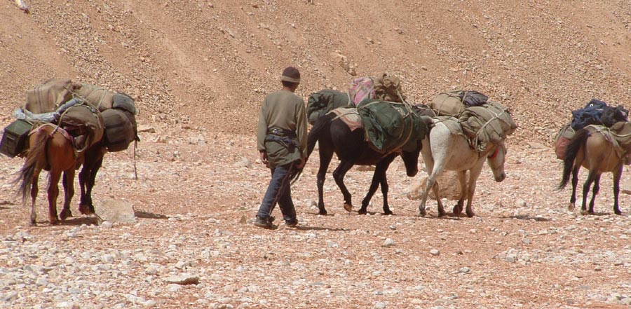
No bridge for the horses.
What to say, this is upper Shyok river valley.
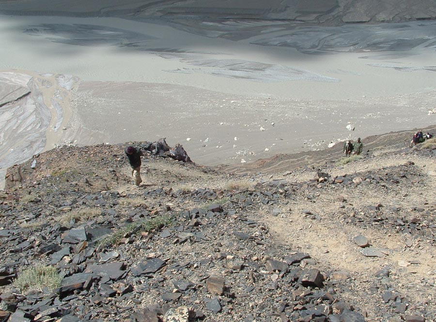
The climb to the top starts. Horses go via the gorge through which Chongtash nala flows..
The end seems quite near, though it took hours.
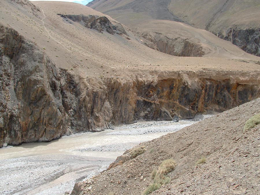
The nala you avoided by climbing up has to be crossed and the cliff on the other side climbed.
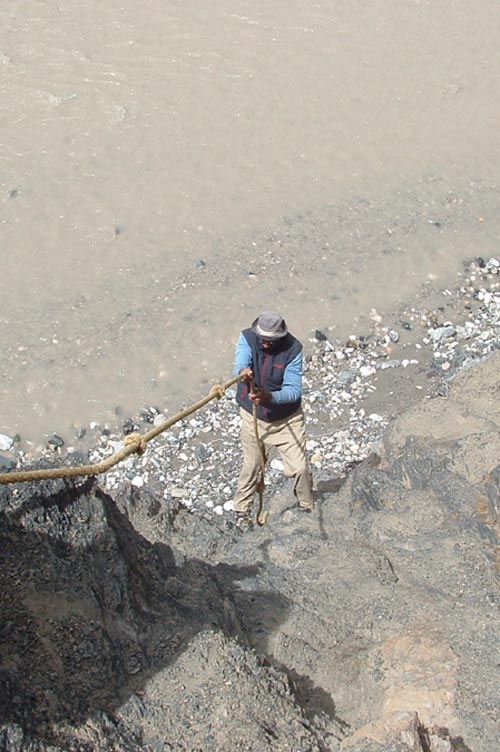
This permanent rope is quite a help.
Wish I had got the ride here.
The route just ahead of Murgo camp.
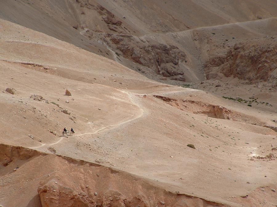
Actually these are riding trails and not walking.
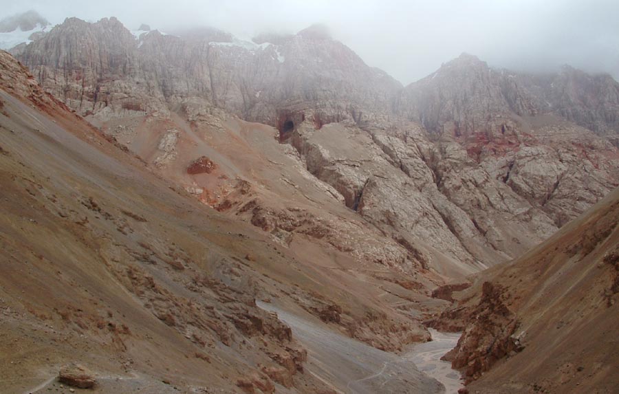
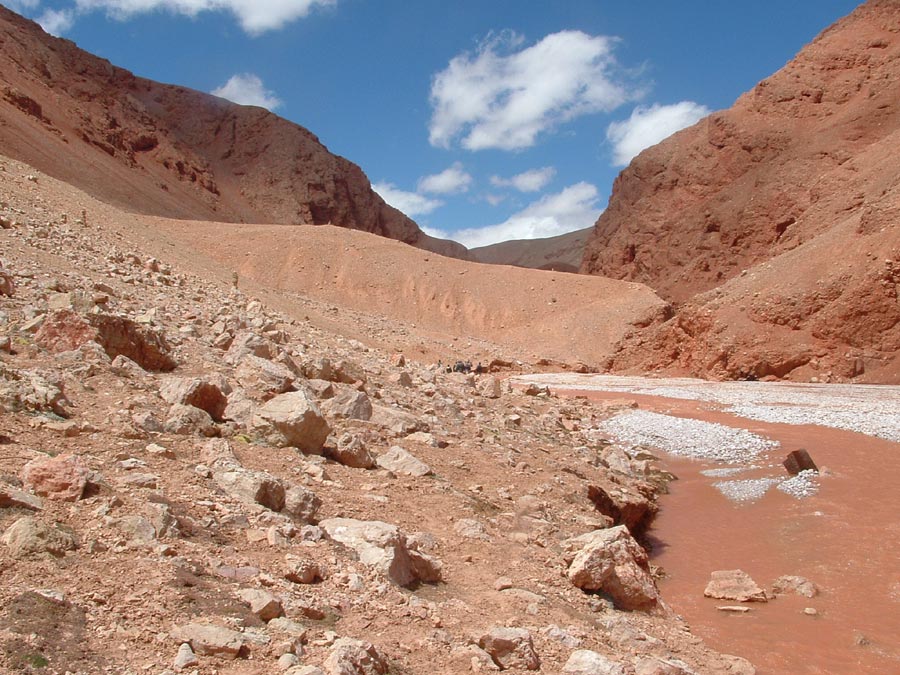
The famous Murgo gorge through which Burtse nala flows.
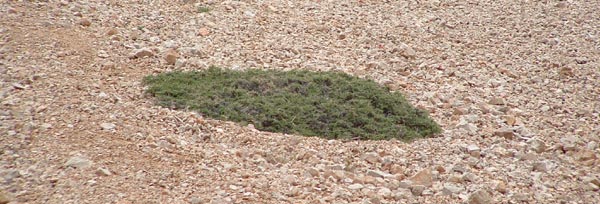
The Burtse bush which can be burnt for fuel.
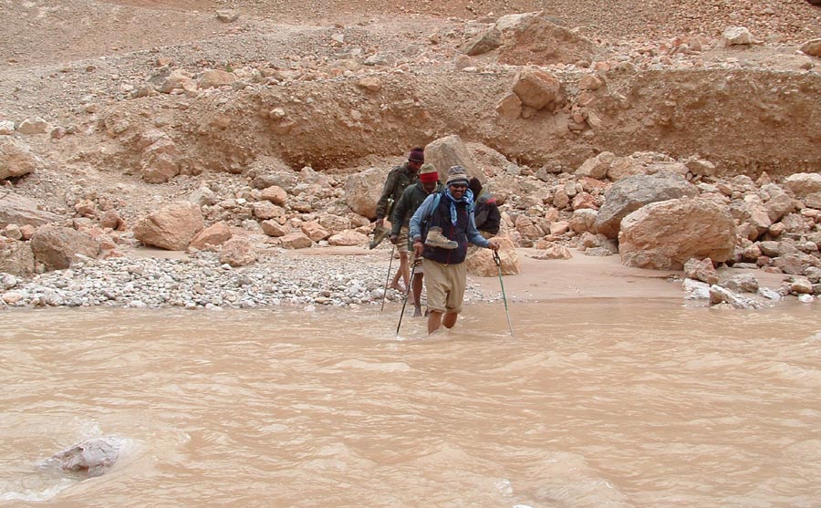
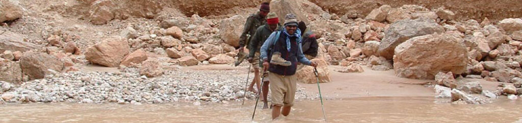
By now one gets used to crossing water.
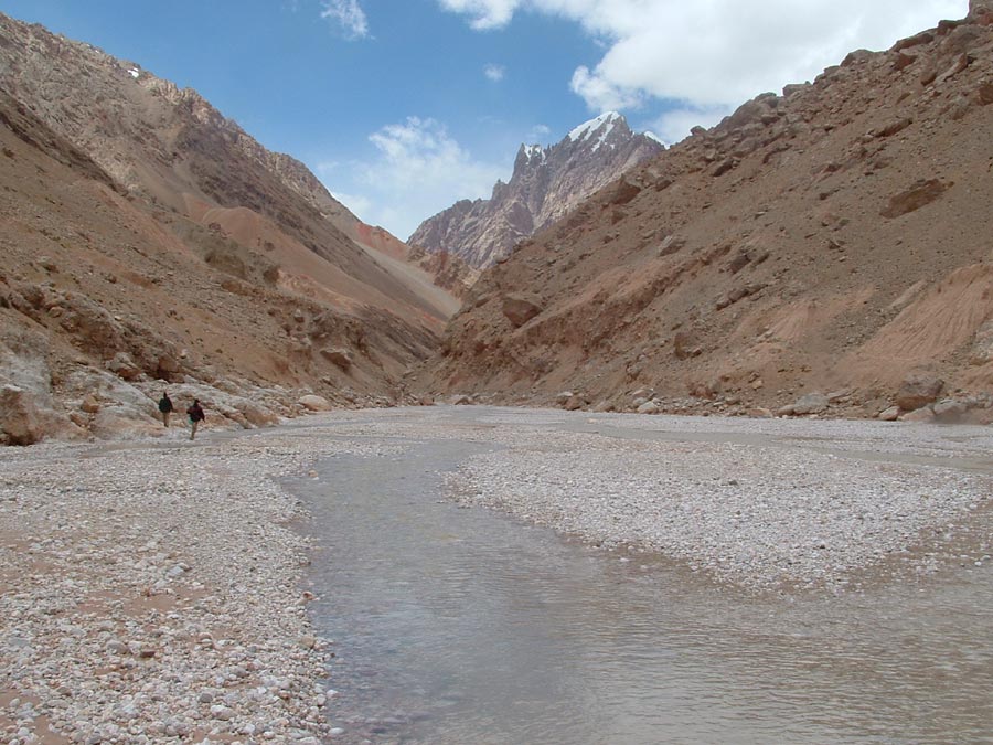
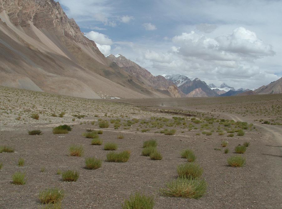
The trail moves out of the gorge and moves on to the Burtse river bed.
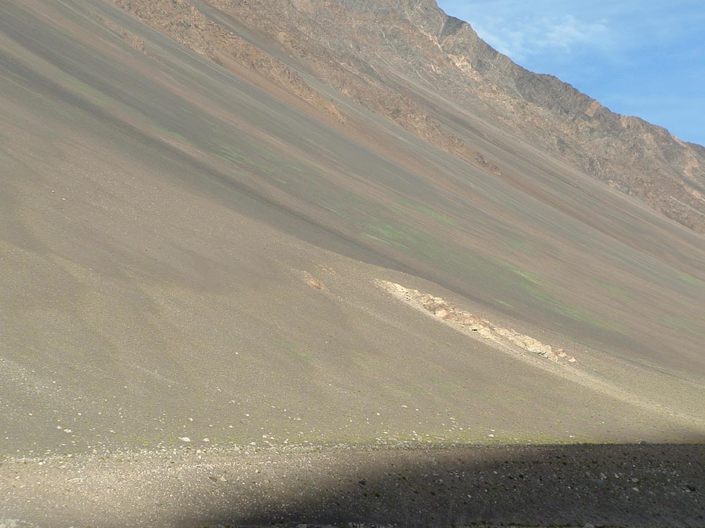
You keep walking looking at these scenes.
Without them one can forget about visiting these parts.
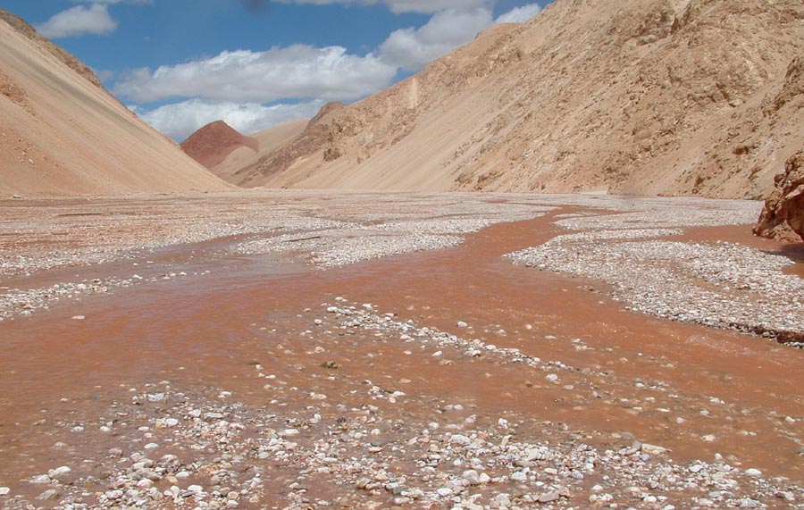
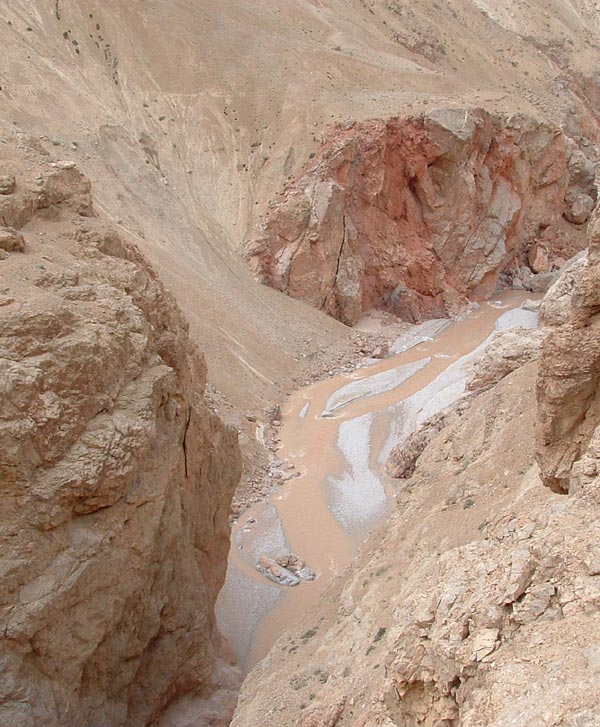
As the time passed the water started to turn red and we moved towards the red hill.
Qazi Langar just below the red hill.
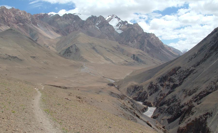
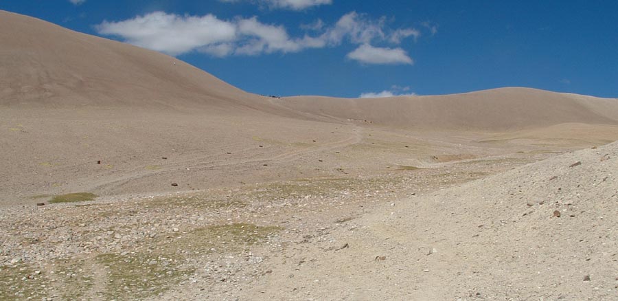
Walking up the gorge we move out into this terrain before reaching Depsang la.
Depsang la so near yet so far.
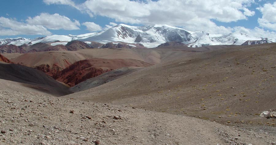
While you climb up to the pass these mountains silently look at you.
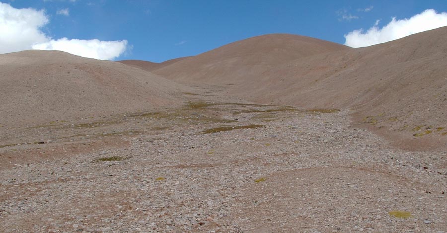
After climbing it looks pretty easy walk.
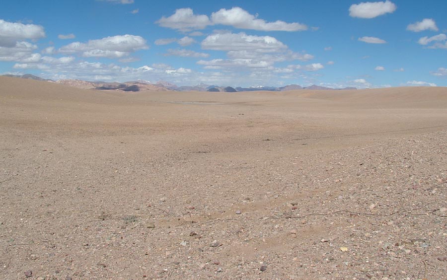
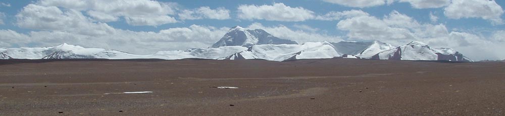
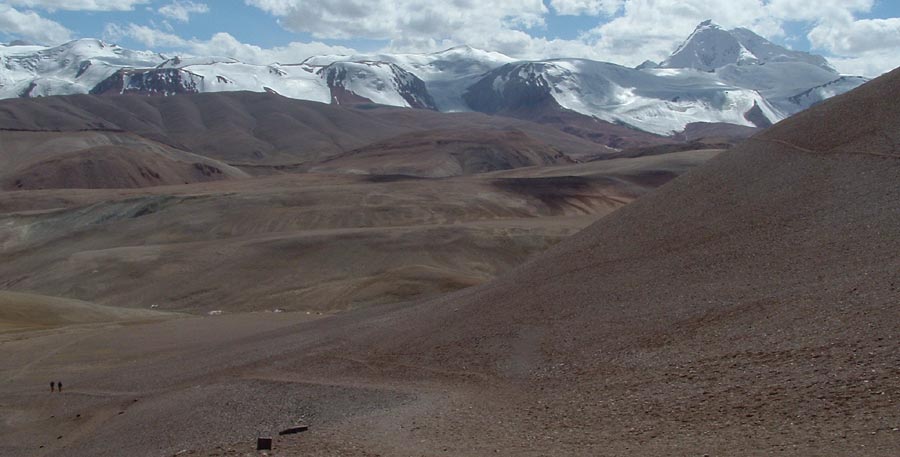
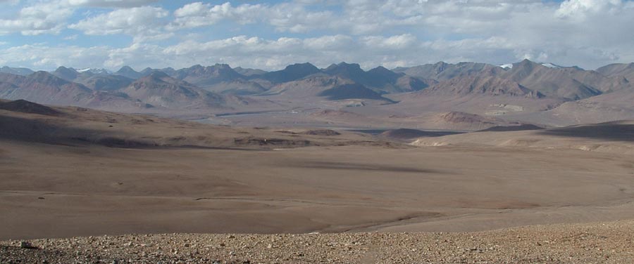
Sure its quite a plain at such a height – Depsang plains.
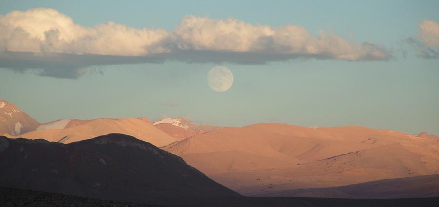
The sun is setting, no no its the moon rising over Aksai chin.
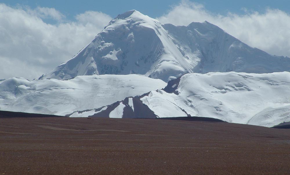
Shahi Kangri dominates the Depsang plains.
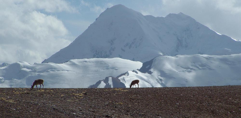
Chiru add charm to the scene.
The Depsang plains.
Keep The Mountains Clean